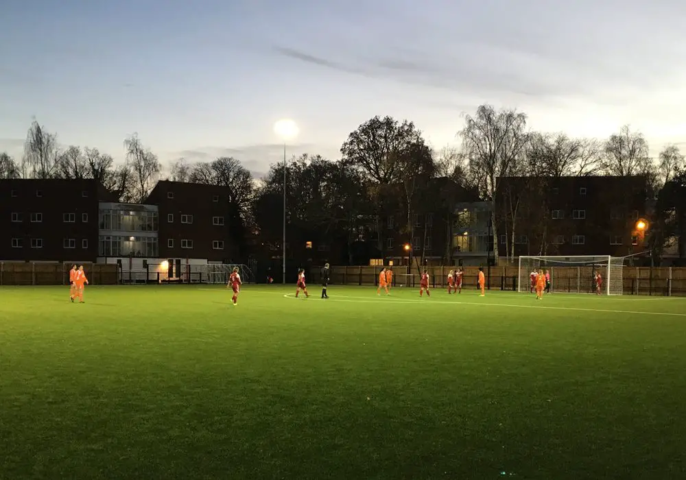
Bracknell Town’s twitter account has poster an aerial image taken by drone of Larges Lane from above.
The image by Sports Surface Solutions shows the area around the ground and how the area has changed since May.
https://twitter.com/KAYNESB2014/status/819279550387470337
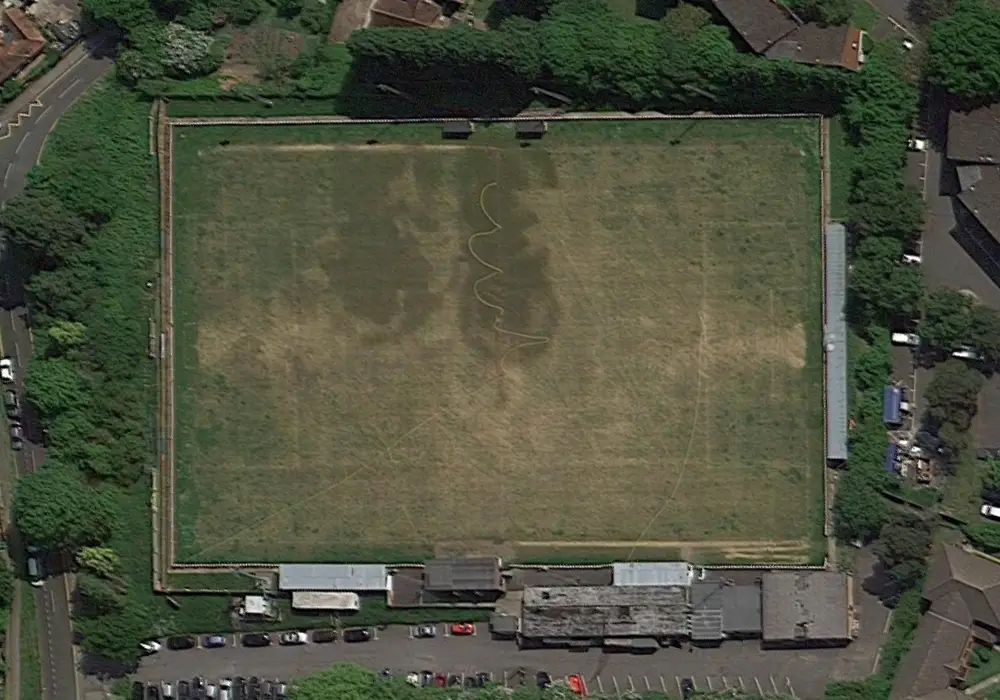
We’ve taken a look at Google Maps to give you an idea of the area prior to the redevelopment which opened at the beginning of November.

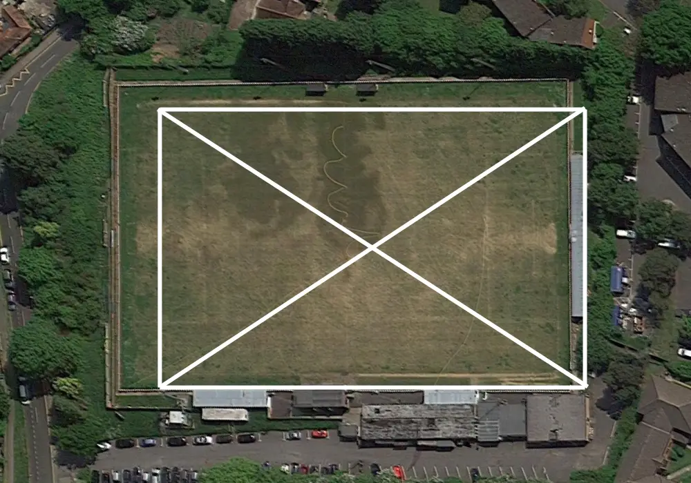
We also attempted to overlay the aerial photo of Larges Lane as it is now onto the Google Maps image to give you an idea of where the new pitch sits. Please be aware though, the image is our best approximation rather than an official club graphic.

FootballinBracknell has some great images of Larges Lane from 2007 here which are well worth a nostalgic look, and we’ve also got a host of images from the development here.
Football in Berkshire has a Breaking News WhatsApp Channel where we’ll send you updates on all the latest football news from the Royal County. You can join Breaking Berkshire Football News by clicking here.
All the clubs we aim to cover on Football in Berkshire, from the West of the Royal County to the East.
Club News | Fixtures | Football News | Media | Results | Transfer News | Women’s Football
Away Days | Events | Fun Stuff | History & Nostalgia | In Depth | Interviews | Opinion
Ascot | Bracknell Forest | Maidenhead | Reading | Slough | West Berkshire | Windsor | Wokingham |
Counties: Berkshire | Buckinghamshire | Hampshire | Surrey | Oxfordshire
Privacy Policy | All content is copyright © Football in Berkshire 2016 – 2024 unless otherwise stated. Enquiries here. Powered by Nugent Burgers and the InBerkshire network
